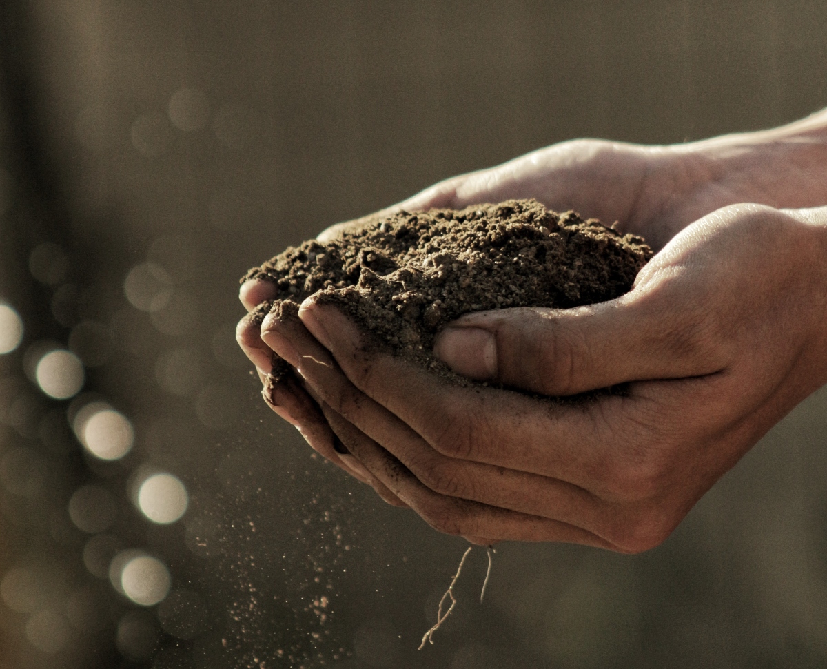
Tanzania is a nation blessed with abundant natural resources, diverse landscapes, and a climate ideal for agriculture. Tanzania, often referred to as the “breadbasket of East Africa,” is home to a vibrant agricultural sector that serves as the backbone of its economy, employing over 75% of its workforce. From the fertile Southern Highlands to the fertile shores of Lake Zone, Tanzania’s soil resources have long been a source of sustenance and prosperity for its people.
To harness and optimize this agricultural potential, the Tanzanian Ministry of Agriculture, in collaboration with the Tanzania Agricultural Research Institute (TARI), embarked on an ambitious soil mapping initiative. This comprehensive effort aims to provide farmers, policymakers, and researchers with detailed insights into the country’s soil resources, enabling them to make informed decisions regarding crop suitability, land management, and sustainable agricultural practices.
Understanding the Geography of Soil Mapping in Tanzania
Tanzania’s diverse geography and climatic zones have led to significant variations in soil types and characteristics. From the lush highlands of the Southern Highlands region to the fertile plains surrounding Lake Victoria, each region presents unique opportunities and challenges for agriculture. The soil mapping initiative is divided into two main regions: the Southern Highlands and the Lake Zone.
Southern Highlands: Unlocking Agricultural Potential
The Southern Highlands region, located in the southern part of Tanzania, encompasses several districts, each known for its distinct agricultural contributions. These districts include Ludewa, Makete, Mbarali, Mbeya, Mbinga, Mbozi, Mpanda, Mufindi, Njombe, Nkasi, Rungwe, Songea, Sumbawanga, and Tunduru. Soil mapping has played a pivotal role in understanding the intricacies of soil composition, texture, and nutrient content across these districts.
Ludewa District: Nestled in the Ukanda wa Nyanda za Juu Kusini, Ludewa boasts a unique blend of natural beauty and agricultural potential. The Ludewa Soil Map, with its 78 KB of data, provides valuable information on soil types, depth, and drainage properties. The Ludewa Agro Ecological Map (75 KB) offers insights into the environmental conditions specific to the district, while the Ludewa Crops Suitability Map (84 KB) assists in selecting crops best suited to the area’s soil and climate.
Makete District: As another prominent district in the Southern Highlands, Makete has embraced soil mapping to enhance its agricultural productivity. The Makete Soil Map (83 KB) delves into soil characteristics, including type and texture. The accompanying Makete Agro Ecological Map (75 KB) paints a picture of the local environmental conditions, while the Makete Crops Suitability Map (90 KB) guides farmers in choosing crops aligned with the district’s unique soil and climate attributes.
Mbarali District: With its diverse landscapes and agricultural potential, Mbarali is at the forefront of Tanzania’s agricultural transformation. The Mbarali Soil Map (82 KB) provides a comprehensive overview of soil properties, while the Mbarali Agro Ecological Map (363 KB) explores the local environmental factors influencing agriculture. The Mbarali Crops Suitability Map (96 KB) is an essential tool for farmers, aiding them in making crop selection decisions that optimize yield.
These districts in the Southern Highlands, along with the others mentioned, have benefited immensely from the soil mapping initiative. Farmers now have access to precise information that empowers them to make informed decisions about crop selection, land use, and soil management. This knowledge has led to increased agricultural productivity and improved food security in the region.
Lake Zone: Nurturing Agricultural Excellence
The Lake Zone, characterized by its proximity to Lake Victoria and the surrounding plains, is another agricultural powerhouse in Tanzania. Districts like Bariadi, Biharamulo, Bukoba, Bukombe, Bunda, Geita, Kahama, Karagwe, and many others are part of this region. Soil mapping here has been instrumental in unlocking the agricultural potential of these districts.
Bariadi District: Nestled in the Ukanda wa Ziwa, Bariadi’s agricultural landscape is diverse and rich in potential. The Bariadi Soil Map (91 KB) provides crucial information on soil composition and properties, aiding farmers in optimizing their land use. The Bariadi Agro Ecological Map (70 KB) offers insights into local environmental conditions, while the Bariadi Crops Suitability Map (86 KB) guides farmers in selecting the most suitable crops for their fields.
Biharamulo District: Located in the Lake Zone, Biharamulo boasts an array of agricultural opportunities. The Biharamulo Soil Map (97 KB) highlights the district’s soil characteristics, while the Biharamulo Agro Ecological Map (98 KB) sheds light on the local environmental factors influencing agriculture. The Biharamulo Crops Suitability Map (84 KB) is an invaluable resource for farmers, assisting them in making well-informed decisions about crop selection.
Bukoba District: Positioned on the shores of Lake Victoria, Bukoba is a hub of agricultural activity. The Bukoba Soil Map (89 KB) offers detailed insights into soil properties, texture, and composition, enabling farmers to make informed decisions about land use. The Bukoba Agro Ecological Map (66 KB) explores the environmental conditions unique to the district, while the Bukoba Crops Suitability Map (88 KB) provides guidance on crop selection aligned with local soil and climate conditions.
These districts in the Lake Zone have witnessed a transformation in their agricultural practices thanks to the soil mapping initiative. Farmers are now equipped with the knowledge required to optimize their land use and crop choices, resulting in increased agricultural productivity and improved livelihoods.
The Significance of Soil Mapping in Tanzania
The comprehensive soil mapping initiative in Tanzania holds immense significance for the nation’s agricultural development and food security. Here are some key takeaways:
Precision Agriculture: Soil maps allow farmers to adopt precision agriculture practices. By understanding their soil’s specific characteristics, they can tailor their cultivation techniques, fertilizer use, and irrigation methods to maximize crop yields while minimizing resource wastage.
Crop Suitability: The Crops Suitability Maps provide valuable information on which crops are best suited to a particular area’s soil and climate conditions. This knowledge empowers farmers to make informed choices that lead to higher productivity and profitability.
Environmental Conservation: Understanding the agroecological and environmental factors through Agro Ecological Maps helps farmers and policymakers make sustainable land use decisions that protect the environment and promote long-term agricultural viability.
Food Security: By increasing agricultural productivity through informed decision-making, soil mapping contributes to improved food security in Tanzania. The nation can better meet its food demands while reducing reliance on imports.
Economic Growth: A thriving agricultural sector is a catalyst for economic growth in Tanzania. With improved agricultural practices, farmers can generate higher incomes, and the nation can increase its agricultural exports, boosting the overall economy.
The Ongoing Commitment to Soil Mapping in Tanzania
As Tanzania continues to recognize the transformative potential of soil mapping, the government, in collaboration with various stakeholders and international organizations, remains committed to expanding this initiative. More districts are earmarked for comprehensive soil mapping, ensuring that farmers nationwide have access to the best information for successful farming practices.
The initiative also emphasizes capacity building among local communities and farmers. By providing training and support, it empowers farmers to leverage soil information effectively, thereby promoting sustainable agricultural practices.
Furthermore, soil mapping is playing a pivotal role in addressing the challenges posed by climate change. As weather patterns become increasingly unpredictable, having accurate soil information is essential for adapting farming practices to changing conditions.
Soil Mapping – A Path to Agricultural Excellence
Tanzania’s soil mapping initiative stands as a beacon of hope for the nation’s agricultural sector. By providing detailed insights into soil resources, environmental conditions, and crop suitability, it empowers farmers to make informed decisions that drive increased agricultural productivity and food security.
As the initiative expands to cover more districts and regions, Tanzania is poised to become a self-sufficient agricultural nation, capable of meeting its food demands and contributing to regional food security. With the support of accurate soil information, Tanzania’s farmers are sowing the seeds of prosperity, ensuring a brighter future for generations to come.